Log in
All resources
Create a design
1,095,865 Free Images of Maps Of Chaldea
maps in the library of congress
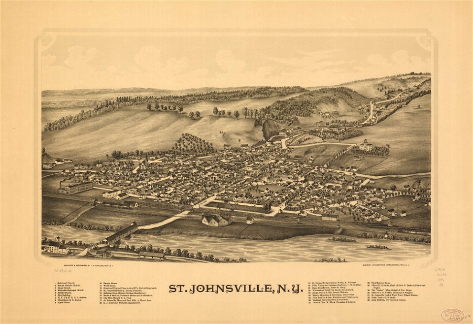
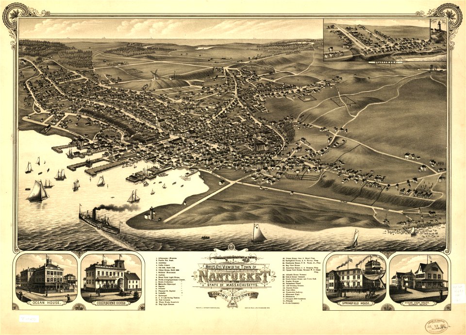
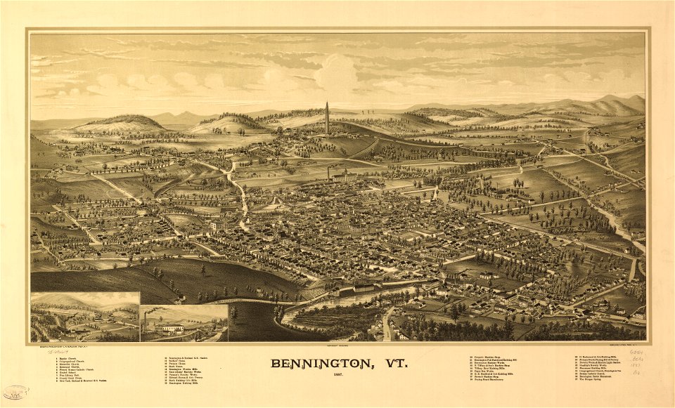
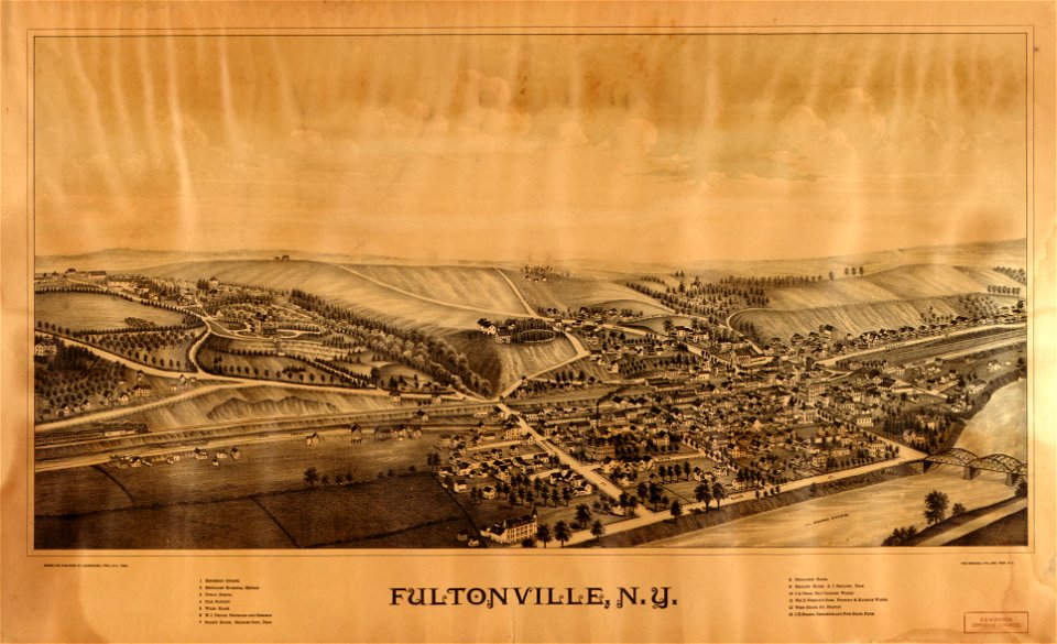
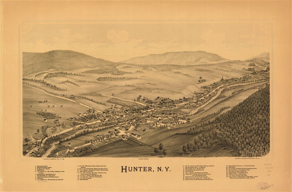
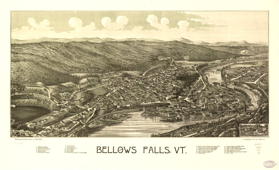
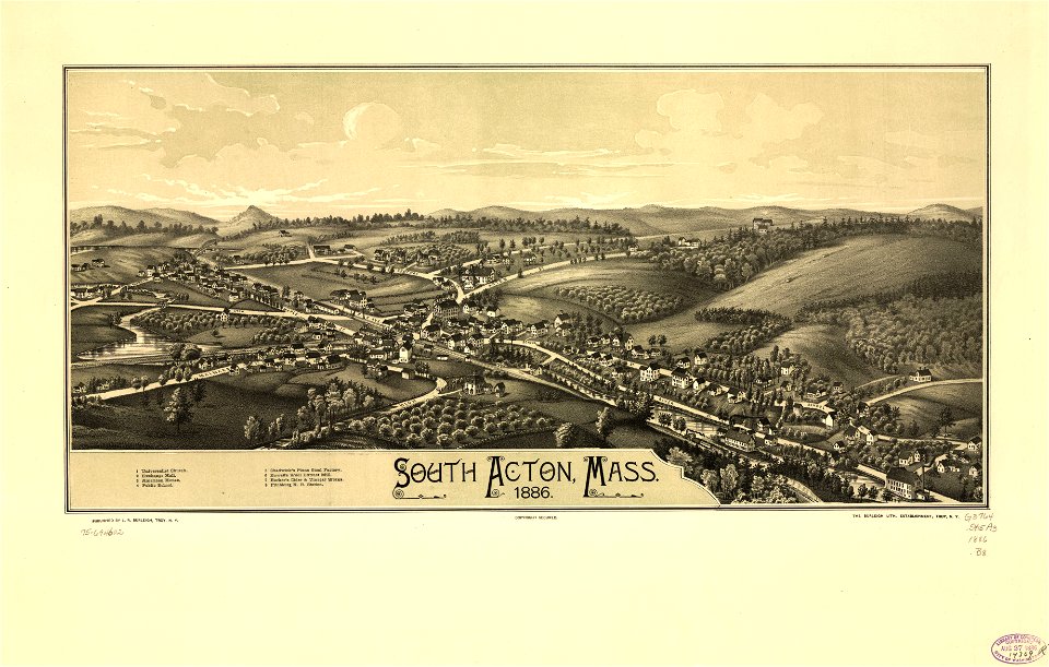
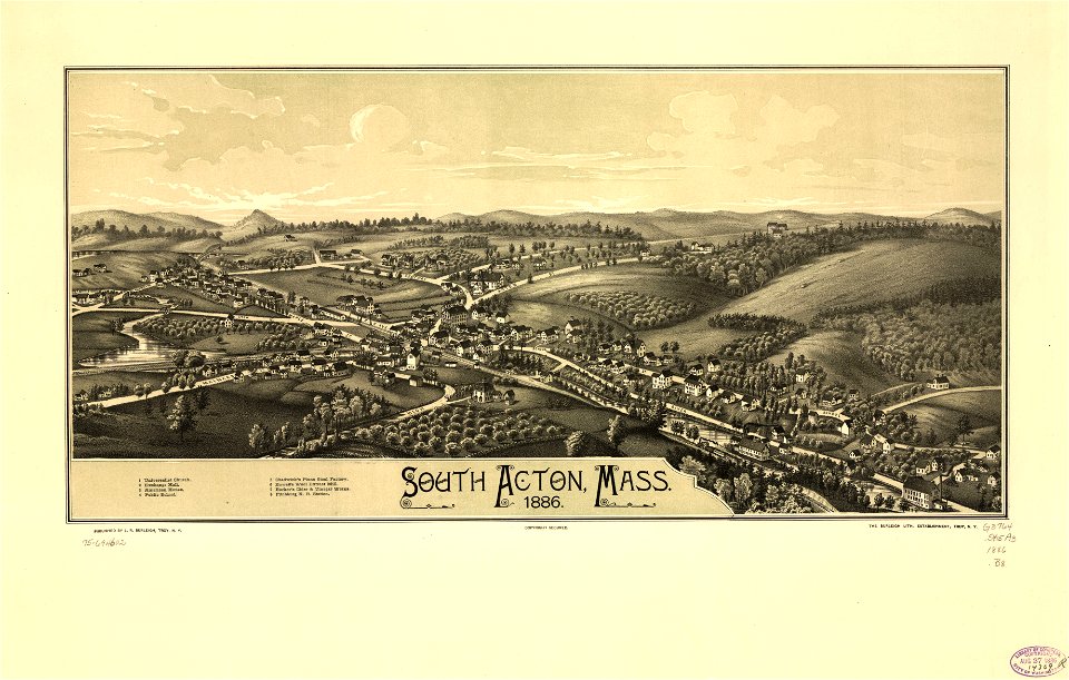
town maps by l. r. burleigh
maps with cartouches
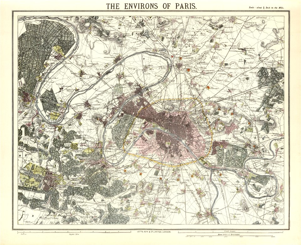
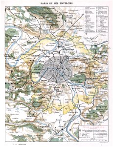
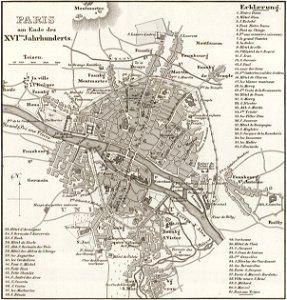
maps of paris from the david rumsey historical map collection
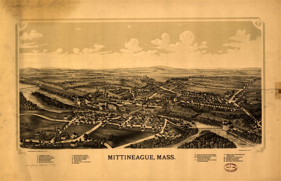
massachusetts
fonds ancely - bibliothèque municipale de toulouse - maps
coats of arms on maps
atlas van der hagen
new york
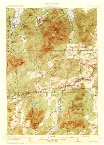
vermont
18th-century maps of japan
1780 in japan
fonds ancely - bibliothèque municipale de toulouse - maps
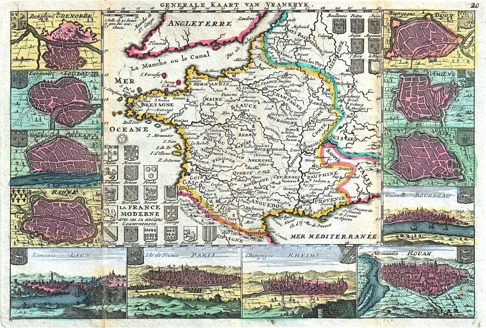
victor levasseur - maps of france
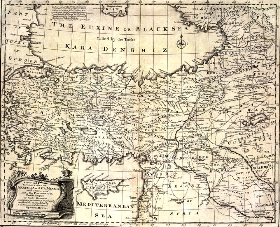
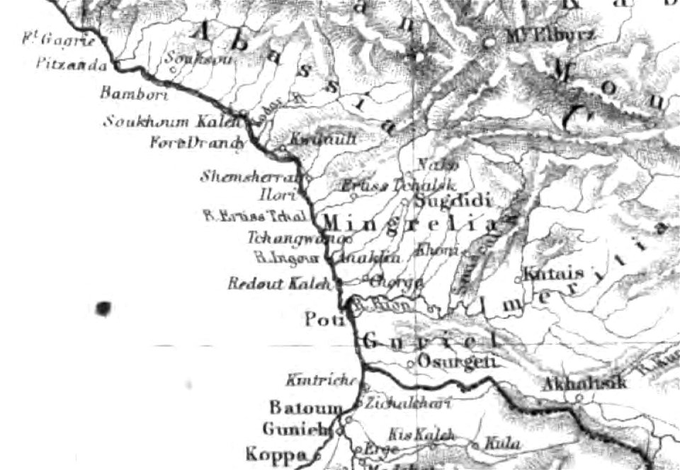
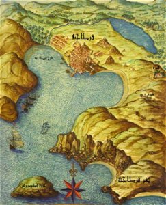
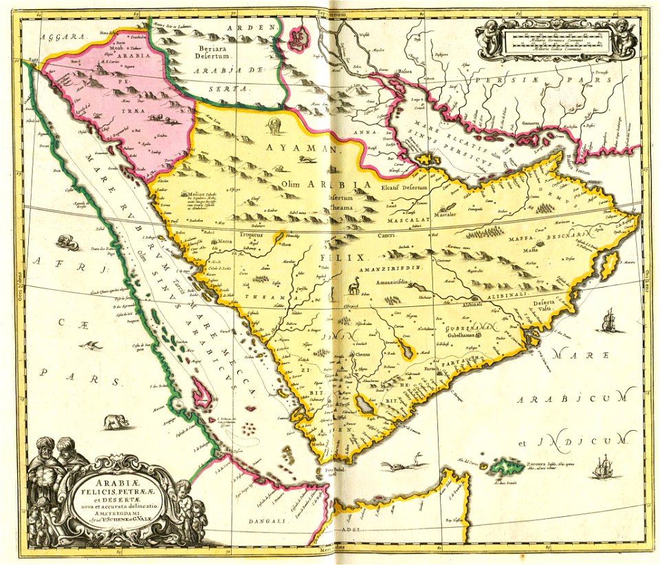
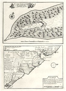
description of kingdom of georgia
its habits and canons
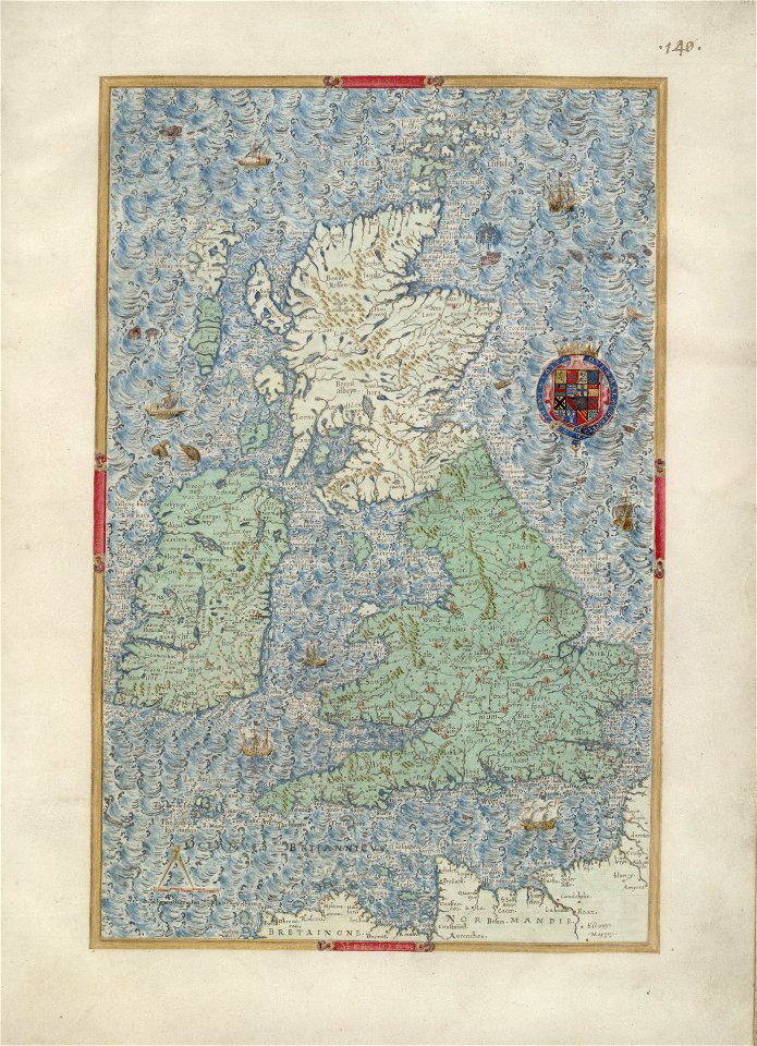
county maps of england by john speed
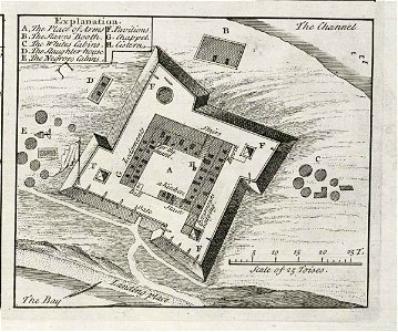
nonsuch palace
description of kingdom of georgia
its habits and canons
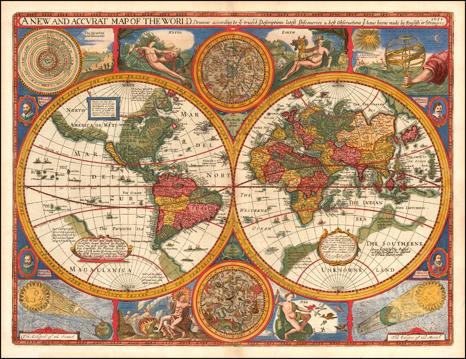
mdcclxxvi (numeral)
1776 maps
david rumsey historical map collection
j. and p. knapton
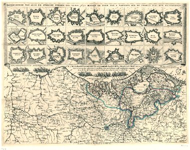
old maps of north brabant
old maps of zeeland
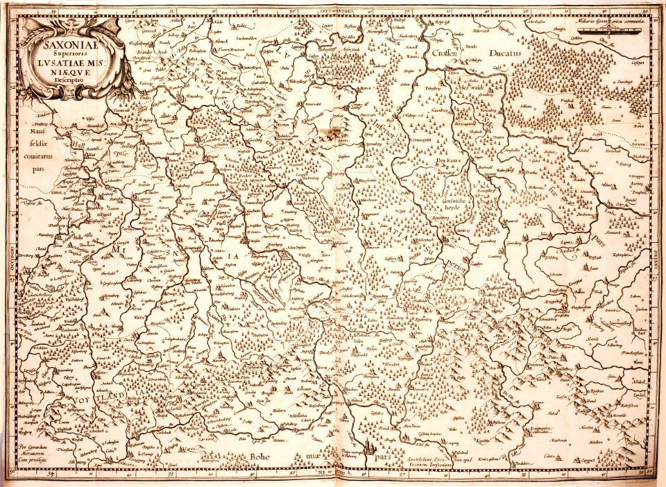
maps of territories in the lower saxony circle
johann baptist homann
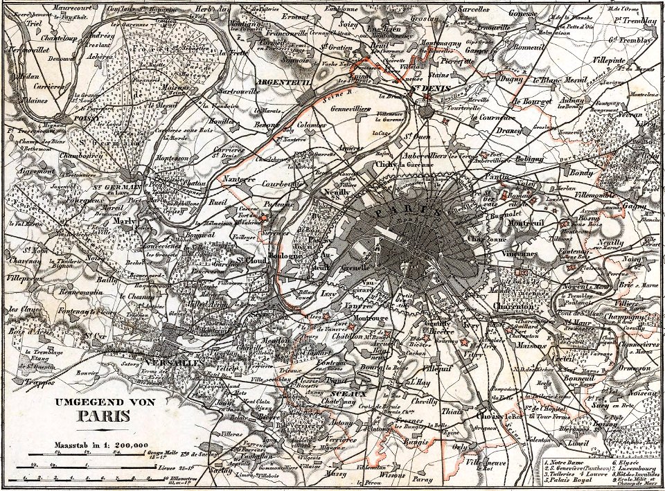
maps of paris in the 1880s
1883 in paris
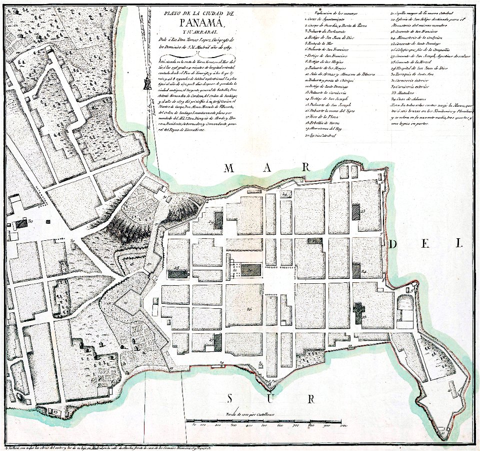
casco viejo
panama
maps in the library of congress
new york
heinrich petri (printer)
maps with cartouches
maps of paris from the david rumsey historical map collection
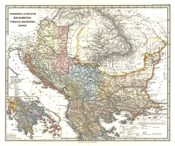
karl spruner von merz
1900s maps of paris
1906 in paris
nicolaes visscher ii
abraham goos
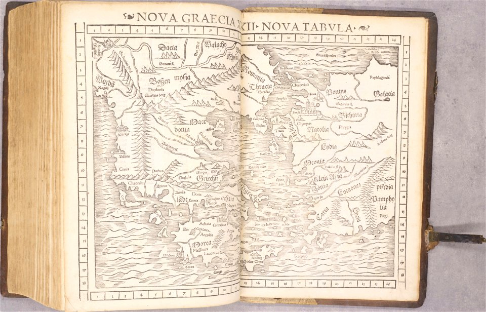
old maps of greece
1552
old maps of greece
old maps of italy
maps in the library of congress
massachusetts
maps in the library of congress
massachusetts
karl spruner von merz
1865 maps
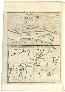
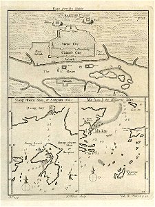
old maps of guangzhou
1745
old maps of guangzhou
1745
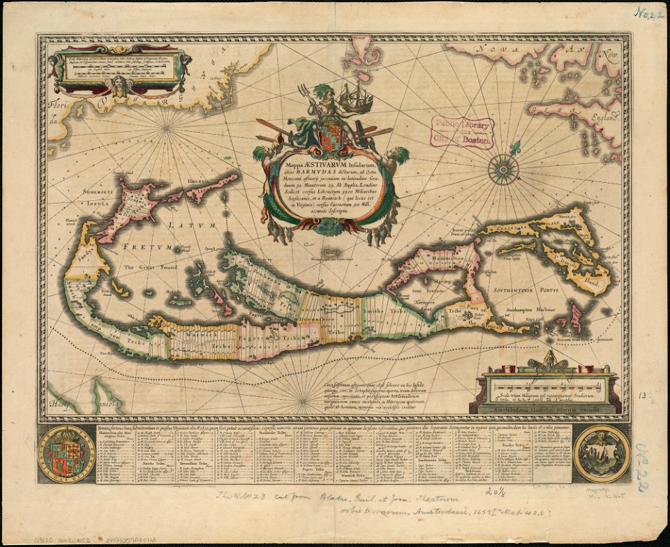
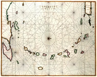
maps of the west-indische compagnie
1665
david rumsey historical map collection
jr
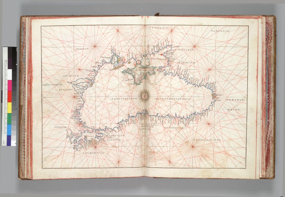
16th-century maps of the black sea
battista agnese
maps in the library of congress
vermont
maps in the library of congress
vermont
french-language maps
johannes ratelband
allegories of the four elements
islands of california
maps of paris in the 1840s
1843 in paris
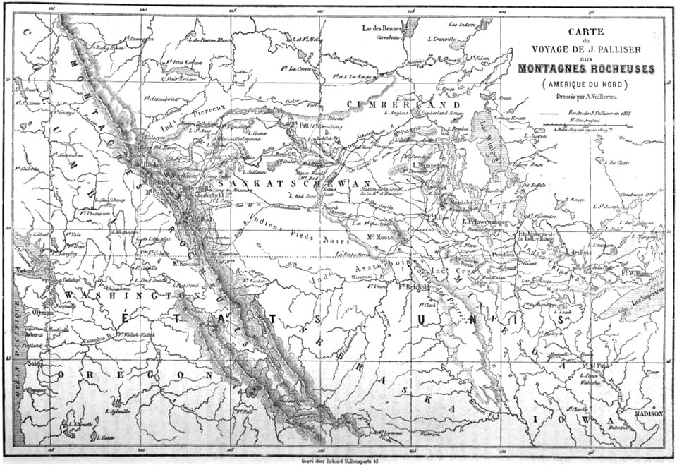
1860s maps of the united states
maps by alexandre vuillemin
rail transport maps of brazil
20th-century maps of brazil
maps of the adirondack mountains
old maps of new york (state)
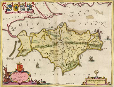
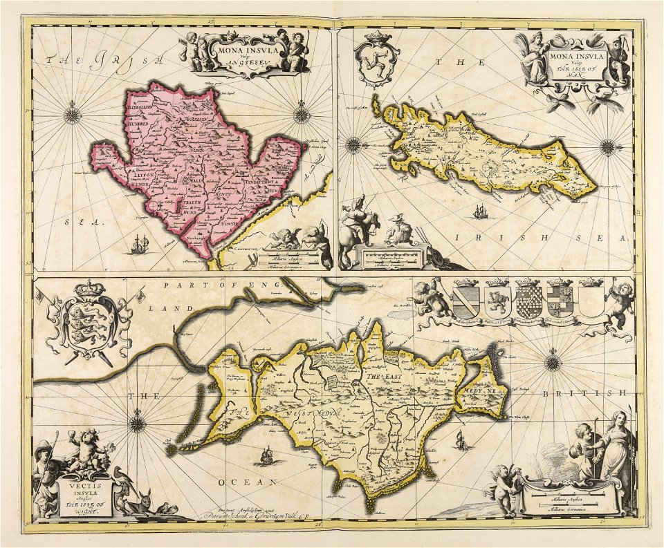
isle of wight
the needle
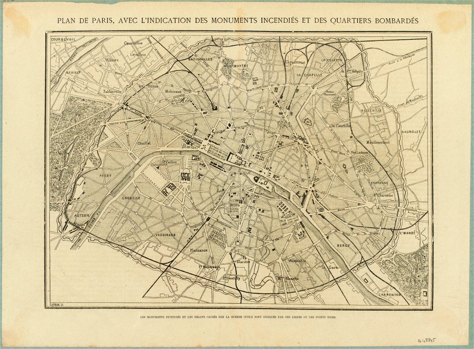
maps of paris in the 1870s
1871 in paris
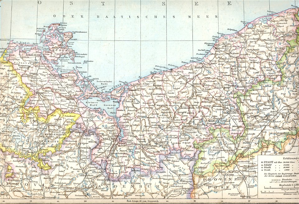
old maps of pomerania province
1880 maps
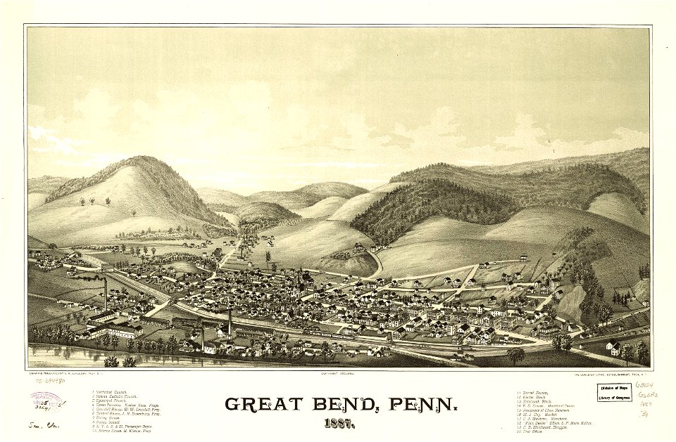
maps in the library of congress
pennsylvania
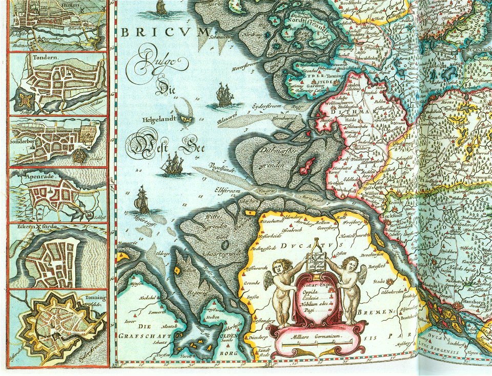
old maps of neuwerk
dieksand
old manuscript maps
pictorial maps
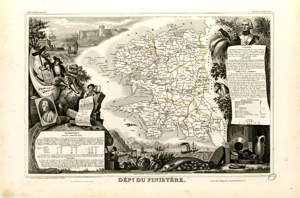
coats of arms of cities in finistère
axes in art
fonds ancely - bibliothèque municipale de toulouse - maps
coats of arms of cities in orne
water transport in vyborg
lucas janszoon waghenaer
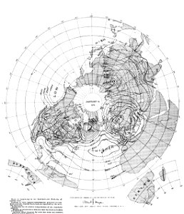
old weather and climate maps
1880 maps
pictorial history of the russian war 1854-5-6 by george dodd
old maps of samegrelo
büderich (wesel)
netherlands
ships on maps
spain
maps made in the 17th century
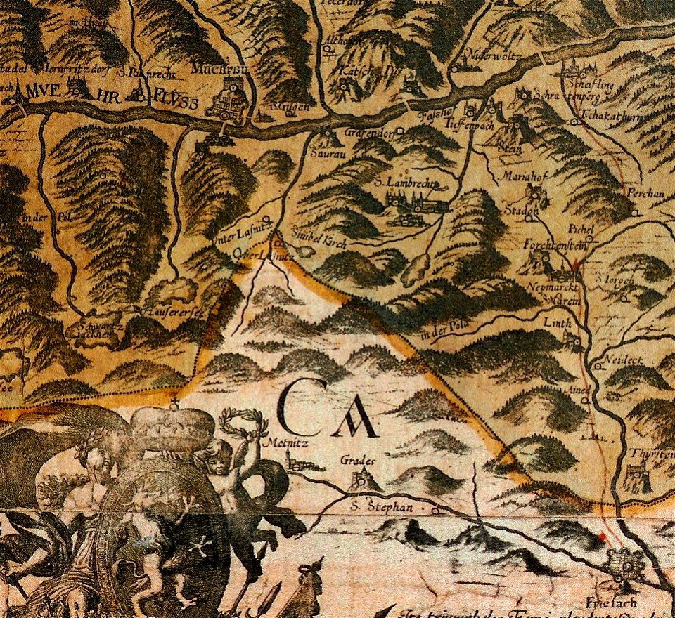
old maps of styria
maps of the dutch republic
nicolaes van geelkercken
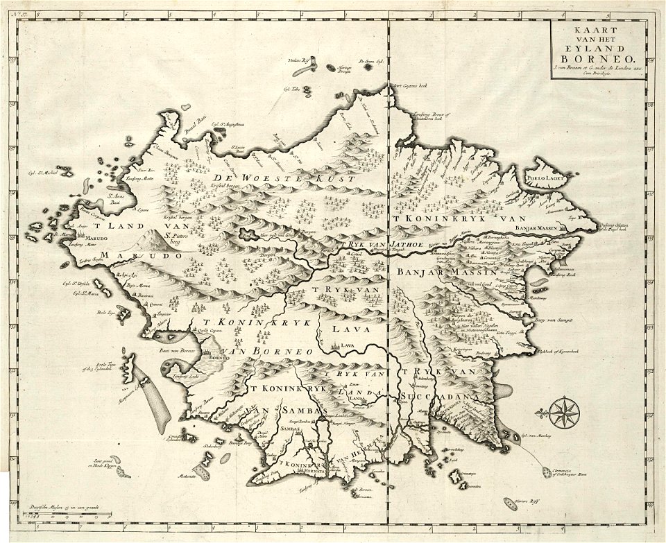
old maps of borneo
samba
prints from dankaerts historis at the peace palace library
maps by johannes janssonius
maps by willem and johannes blaeu
jodocus hondius
copper engraving
gerard valck
illustrations of cosmographia (münster)
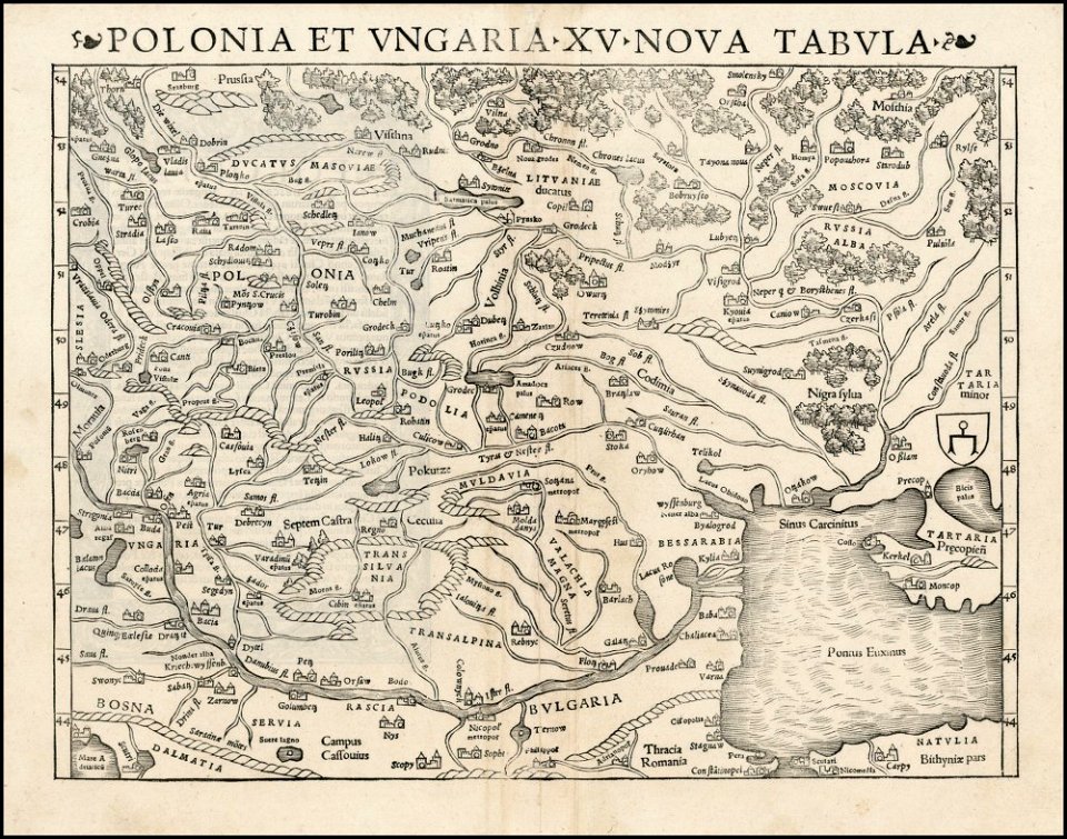
old maps of poland
1862 in paris
1862 maps
old maps of the dutch east india company
1757 maps
maps with cartouches
atlas van der hagen
maps in the rijksmuseum amsterdam
sloten (amsterdam)
maps in the library of congress
new york
new york
hunter
1900s maps of paris
1900 in paris
maps of paris from the david rumsey historical map collection
paris in the 16th century
old weather and climate maps
1872 maps
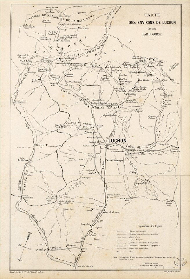
fonds ancely - bibliothèque municipale de toulouse - maps
pierre gorse
musée historique du sénégal
senegal
eastern province
sri lanka
maps by willem and johannes blaeu
1662
artwork by charles heaphy
old maps of new zealand
maps made in the 17th century
old maps of gdańsk
maps in the library of congress
vermont
maps in the library of congress
vermont
maps with cartouches
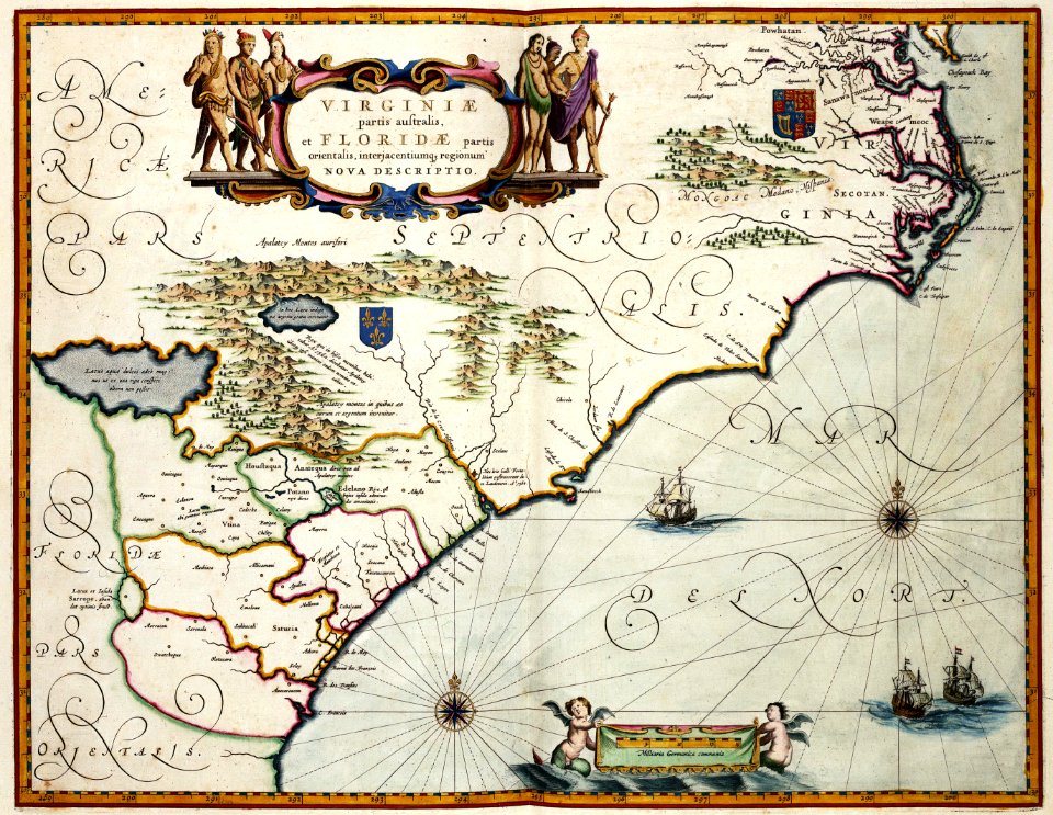
maps of virginia
joseph james forrester
port wine
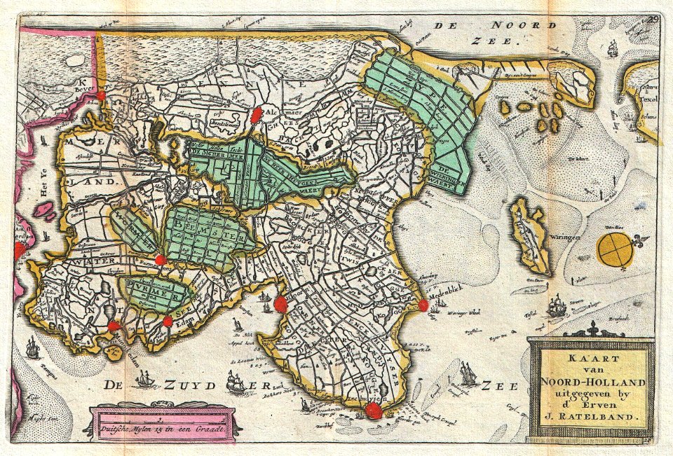
old maps of north holland
johannes ratelband
david rumsey historical map collection
joan blaeu
bibliothèque municipale de reims
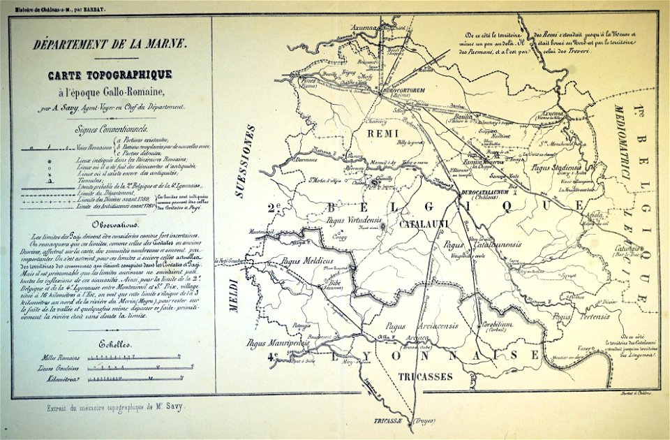
maps relating to celts
party per bend or and azure
coats of arms on maps
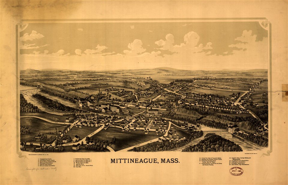
maps in the library of congress
massachusetts
maps in the library of congress
massachusetts
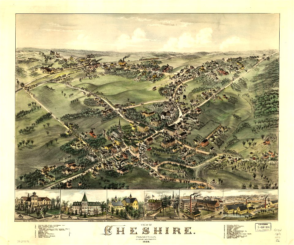
connecticut
cheshire
connecticut
cheshire
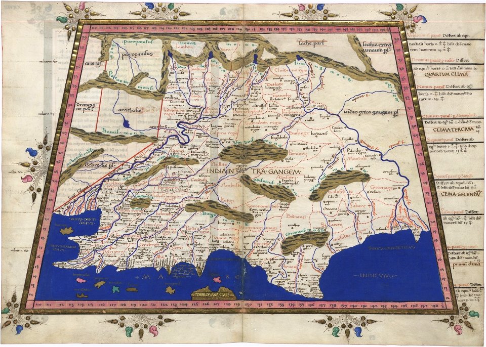
cosmographia claudii ptolomaei alexandrini
latin-language maps
maps in the library of congress
massachusetts
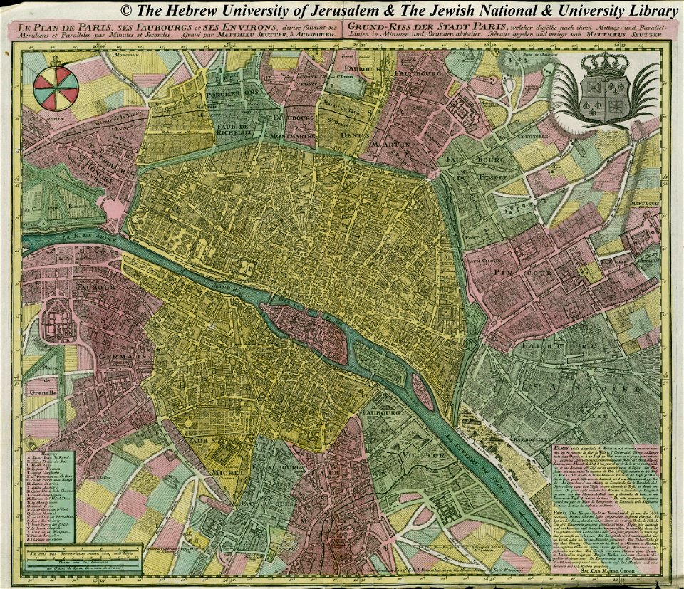
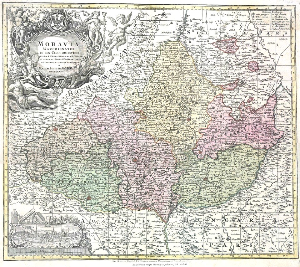
maps by matthäus seutter
copyfraud
new york
rome
maps in the library of congress
massachusetts
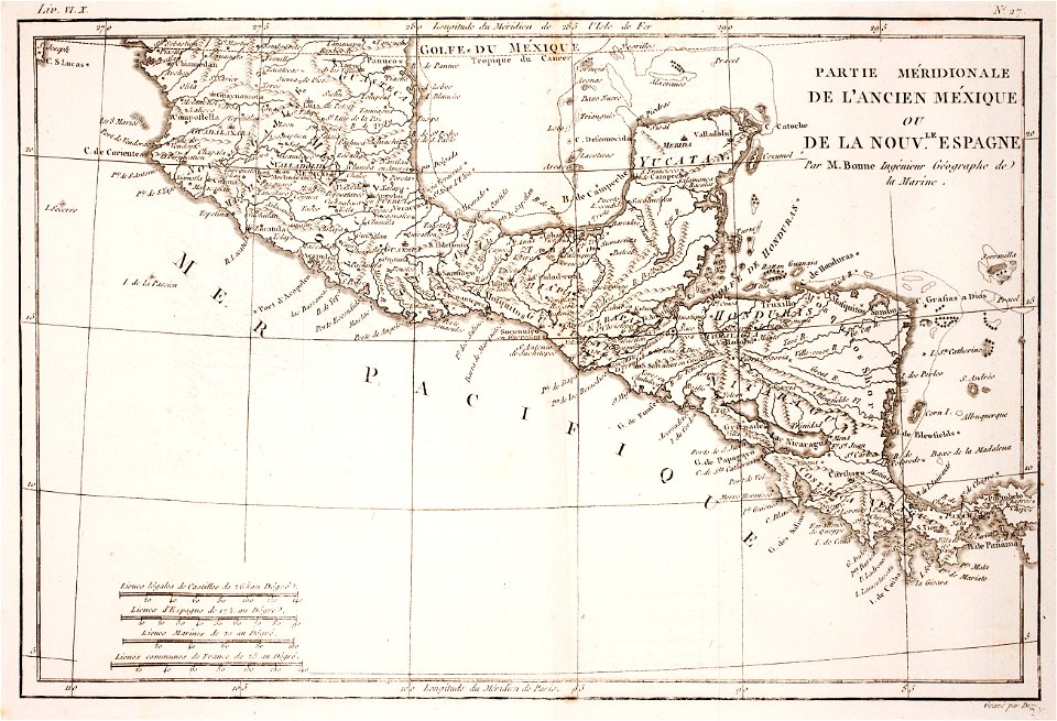
18th-century maps of nicaragua
1780 in central america
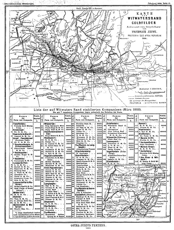
gold mines in south africa
old maps of johannesburg
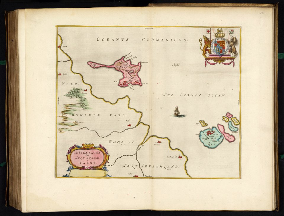
old maps of the british isles
old maps of europe
margraviate of moravia (1628-1782)
maps by matthäus seutter
pfannenstiel
hirslanden
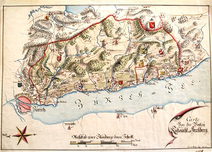
maps of strasbourg in the 17th century
18th-century maps of strasbourg
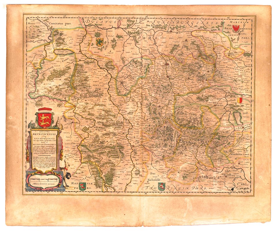
maps of the principality of brunswick-wolfenbüttel
coats of arms on maps
schauplatz der fünf theile der welt
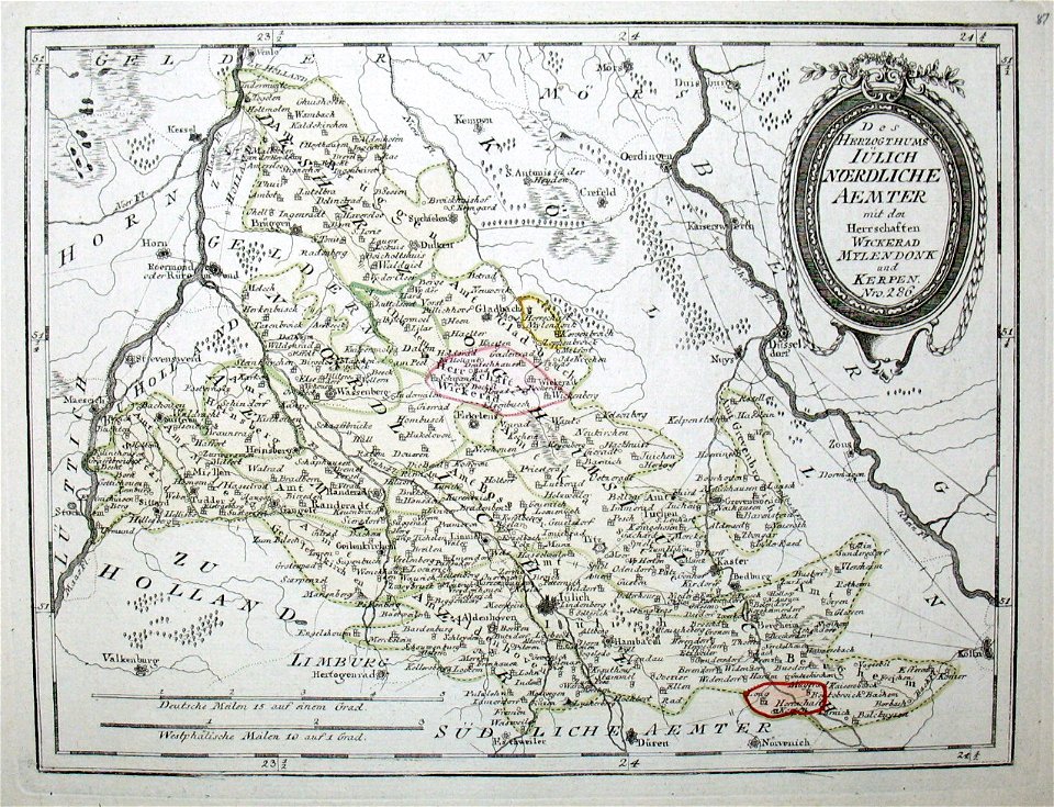
old maps of the duchy of jülich
claes jansz. visscher (ii)
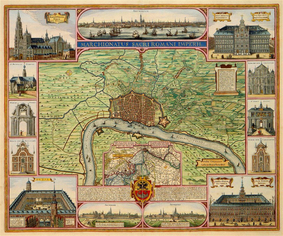
antwerp
maps made in the 17th century
gerard valck
18th-century maps of the spanish empire
dien (printer)
maps by willem and johannes blaeu
maps in the rijksmuseum amsterdam
maps by joseph hutchins colton
1855 maps
19th-century maps of washington
d.c.,
2401 - 2500 of 1,095,865
Next page
/ 10959